
Mapping What Satellites Cannot See.
Bypassing the data desert. Utilizing zero-emission, autonomous-grade spatial mapping and edge AI to locate the "invisible 39%" in deep-canopy environments.
The Problem: The Level 4 Canopy Gap
Traditional aerial mapping and high-altitude satellites fail to penetrate dense, multi-story "Level 4" tree canopy and urban infrastructure. When municipal governments rely on aerial limitations and government guesswork, lives are lost in the data desert.
The Solution: Terrestrial Edge Intelligence
Operated by Unhoused Awareness [501(c)(3)], Project G-GRID is the Pacific Northwest’s first autonomous-grade, deep-tech spatial auditing fleet. We deploy mobile mapping rigs on the ground to navigate deep-canopy terrain, bypassing foliage occlusion and creating sub-centimeter 3D digital twins where aerial systems see only green.
By capturing real-time ground-truth data in GPS-denied environments, Project G-GRID replaces municipal guesswork with mathematical certainty.
The Hardware & Perception Payload
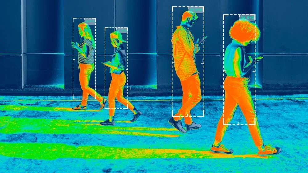
Project G-GRID operates on a sophisticated, enterprise-grade technology stack designed for extreme-edge deployment without cloud reliance.
Vehicle Platform: Zero-emission, quad-motor (Electric) fleets. Optimized energy consumption extends mission duration in deep-woods, off-grid environments.
Perception Stack: Synchronized Quad Ouster OS1-128 LiDAR arrays and Teledyne FLIR Ladybug6 8K cameras fused with Trimble GNSS frameworks.
Edge AI & Offline Compute: Real-time processing powered by NVIDIA Jetson AGX Orin compute nodes delivering 275 TOPS of massive parallel compute.
Real-Time Processing: Runs a heavily optimized LIO-SAM (Lidar-Inertial Odometry and Mapping) pipeline capable of processing over 20 million LiDAR points per second, entirely offline.
Total Data Privacy: 100% offline edge processing ensures the data of highly vulnerable populations stays private, secure, and untrackable by bad actors.

Institutional Validation & Enterprise Utility
Project G-GRID generates high-fidelity data products essential for emergency responder pathfinding, accurate municipal resource allocation, and scientific micro-topography modeling.
We are proud to collaborate with elite enterprise consortiums:
NVIDIA Inception Program: Feeding high-fidelity, ground-truth data assets directly into the NVIDIA ecosystem to fuel NVIDIA Isaac Sim and NVIDIA Omniverse simulations.
Enterprise Consortium: Actively engaged with partners including NVIDIA, Ouster, Esri, and USBank.
The Zero-Bureaucracy Synergy
Project G-GRID does not operate in a vacuum. It is the real-time detection layer of a two-part operational mandate.
Once G-GRID’s edge-tech identifies and locates off-grid, vulnerable youth, they are immediately placed into our Cascade Canopy program. By combining real-time spatial intelligence with Class-A transitional housing master leases, we bypass municipal waitlists, bureaucratic red tape, and administrative slow-downs to provide immediate, life-saving sanctuary.
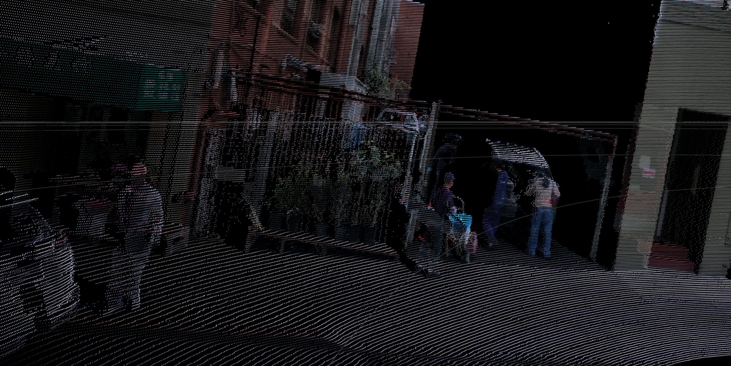
Want a better understanding of how it would look in real time? For a more in-depth look with manual controls, click here Ouster Studio Web